MEASURES - MIS (Measures Information System) is now ready to be filled with data
04-05-2020
The MEASURES Information System (MIS) is an online tool providing scientists, decision makers, and the general public with information about ecological corridors and the connectivity of habitats for long- and medium-distance migratory fish of the (DRB).
The development of the MIS will be aligned with other publicly available information systems like the Freshwater Information Platform (FIP) and the Danube River Basin Geographic Information System (DanubeGIS) of the International Commission for the Protection of the Danube River (ICPDR) to ensure the transferability of results.
In general, two types of access are foreseen for the MIS: public availability of general open access information and restricted access for experts and selected policy makers, e.g. regarding sensitive data, such as locations of sturgeon habitats. Additionally, the MIS will also be used as an internal data exchange tool. All project generated data from field mapping, data analyses or workshops with national stakeholders will be made available to support future decision-making processes.
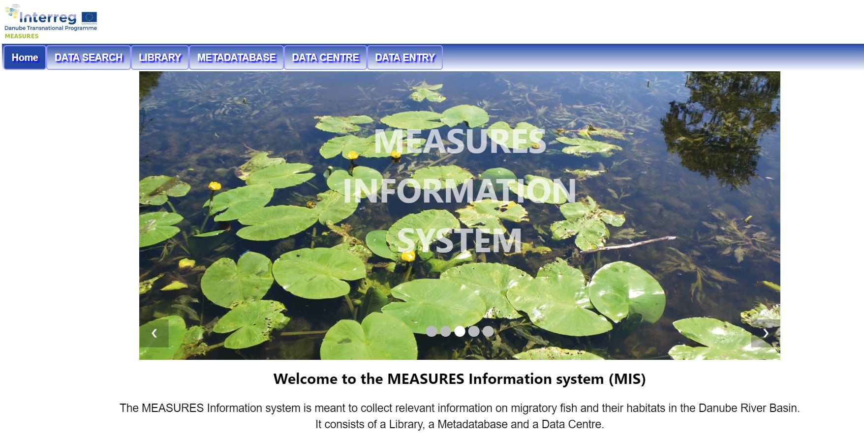
MIS is meant to collect relevant information on migratory fish and their habitats in the Danube River Basin. It is now available online and it consists of a Library, a Metadatabase and a Data Centre:
→ DATA SEARCH – provide datasets related to the Danube catchment to support your work.
→ LIBRARY - open access publications, articles and reports.
→ METADATABASE - characterising information of all relevant datasets in the region.
→ DATA CENTRE - monitoring data of migratory fish including habitats and corridors.