D2C DaRe to Connect - Supporting Danube Region’s ecological Connectivity by linking Natura 2000 areas along the Green Belt
Pilot Regions
The DaRe to Project pilot regions are described in this article :
1. Bavarian Forest-Mühlviertel-Šumava (Germany/Austria/Czechia)
2. Zahorie-Little Carpathians/Male Karpaty (Slovakia)
3. Örseg-Goričko (Hungary/Slovenia)
4. Iron Gates-Djerdap (Romania/Serbia)
5. Drava River in Virovitica-Podravina County (Croatioa)
6. Danube River oxbows (Hungary)

1. Bavarian Forest-Mühlviertel-Šumava (Germany/Austria/Czechia)
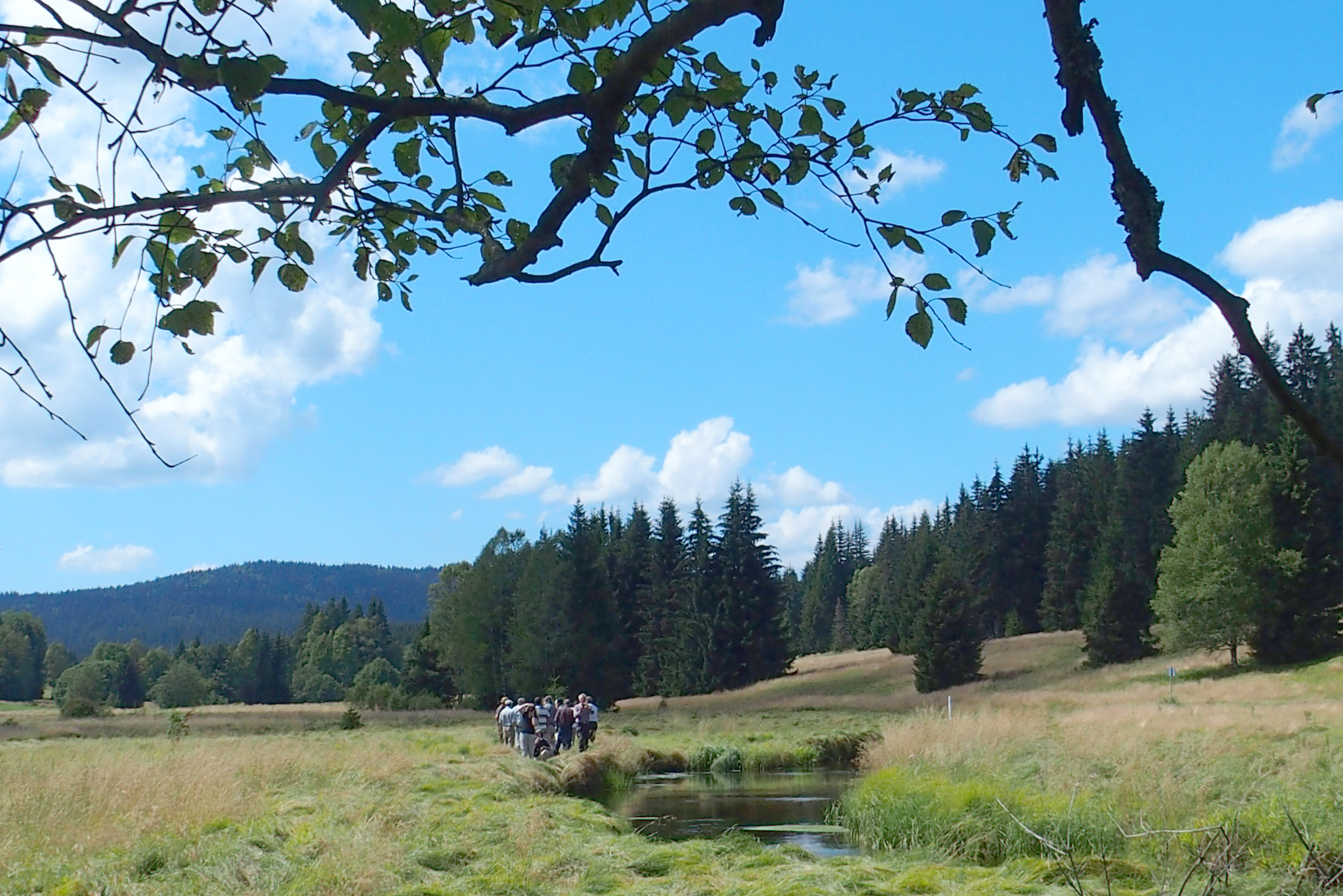
Pilot Region 1 is part of one of the most valuable natural places in Central Europe. It bears a high variety of wetlands and the largest contiguous forest reserve in Central Europe, the so-called “Green Roof of Europe”.
The core area of the national parks Šumava (CZ) and Bavarian Forest (DE) is formed by montane spruce forests, bog woodlands, active raised bogs and transition mires. It is essential for endangered species such as lynx and capercaillie (and many others), it is the core part of their habitat. The natural occurrence of spruce is limited to the highest altitudes (aprox. over 1100 m) and mires. Most of montane spruce forests are protected in no intervention regime. Nature is left here to develop spontaneously. Bark-beetle is by biologists perceived as a natural part of the montane spruce ecosystem, even with large-scale break-up in the tree layer which was caused by bark-beetle gradation together with windfalls. The habitat recovers quickly and more resistant montane spruce forests develop. The high presence of dead wood is very important not only for the recovery but also for species living here and biodiversity.
There is quite a diffusive boarder with beech forests which are present in lower altitudes. Beech forests have high proportion of spruce and fir and are covering large proportion of mountains, as well as submontane areas outside the national parks.
There is a population of around 500 capercaillies in Bavarian Forest and Šumava Mountains. Despite this is being a quite high number (it is the biggest population in European middle altitudes, apart from Scandinavia), it is still a critical value – the lowest for survival of the population. The capercaillie is an umbrella species of montane spruce forests and mires. Through its protection many other rare species are protected as well.
Lynx was reintroduced to the Šumava Mountains in 1980´s. The core area of the Šumava Mountains and the Bavarian Forest is essential for them, it offers a breeding and resting place to lynxes. The population is about 70-80 lynxes at the Czech side. It has large territories and can migrate quite long distances (even 70 km per one night) which means that lynx uses quite a wide area to live. Also in Bavaria and Austria. Migration corridors need to be preserved.
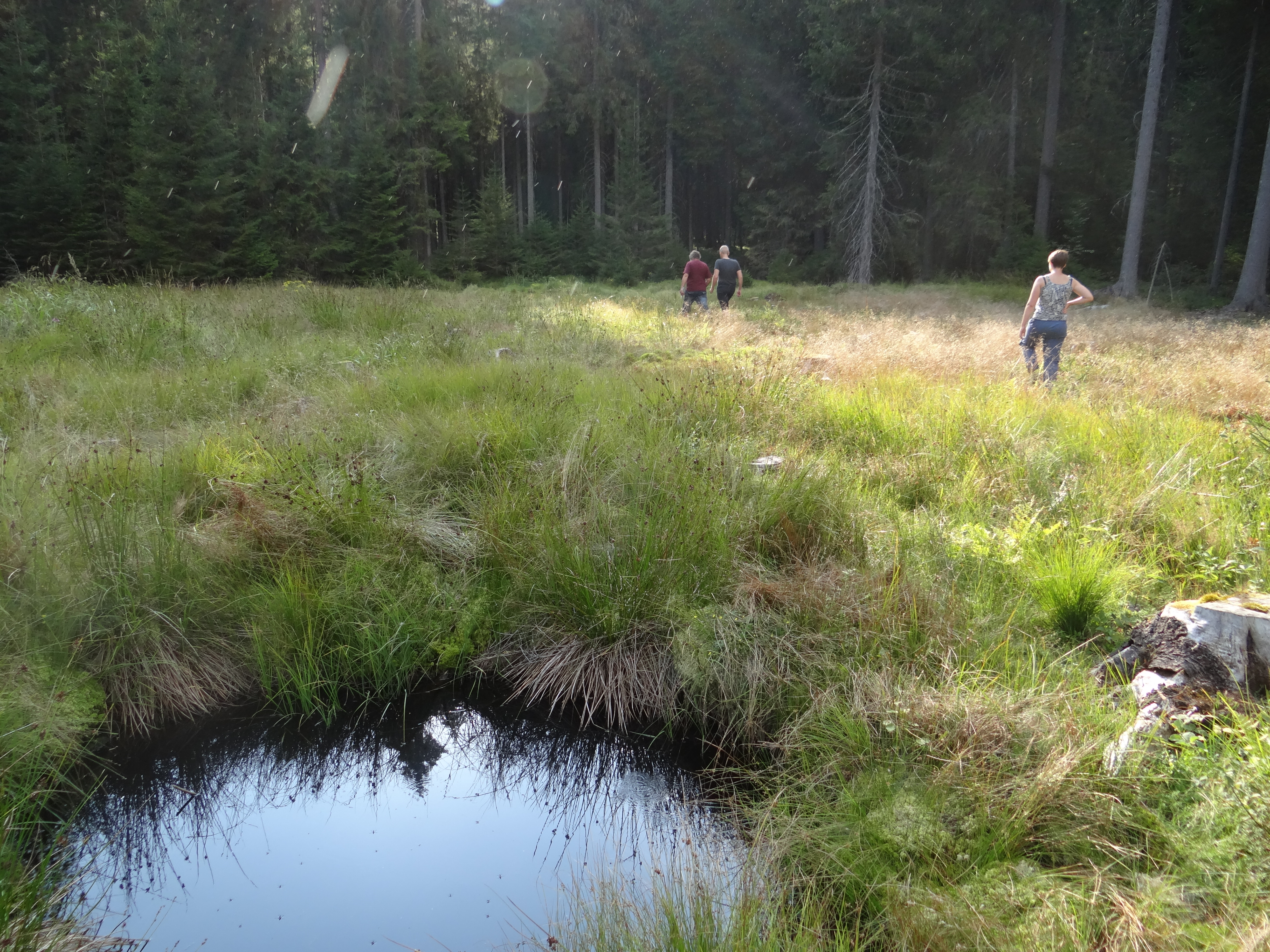
Many types of primary forest-less areas are well preserved, such as glacial lakes, mires, rocks and others. Numerous peatlands communities enable even some postglacial-age species to survive. Unfortunately, many mires were drained in past. Today many of them are revitalized.
The secondary forest-less areas are also very precious for many plant and animal species. In the mountains we find Nardus grasslands and mountain hay meadows, in lower parts more lowland hay meadows are present.
Black grouse is a boreal species which has small decreasing population in the Šumava Mountains. The population has 40-50 lekking males.
Freshwater pearl mussel has several last places of occurrence in the Pilot Region 1 in wider area of Bavarian-Austrian-Czech borders. It is another umbrella species which needs clear water and oligotrophic environment.
The wider area around Bavarian Forest and Šumava is a cultural landscape with smaller but also valuable natural localities in Mühlviertel, Novohradské hory etc. Natural forests in this area are beech forests (going to oak-hornbeam forest and other types of forests), the altitude is far below the natural occurrence of spruce. Still, there are many plantations of spruce forests here. We can find also many small-scale occurrences of mires, meadows, freshwater pearl mussel, lekking places of black grouse. Migration corridors of lynx are situated here.
Hazel grouse can be a symbolic species of Pilot Region 1. It is quite a “hidden” species with unknown exact occurrence, but stretching through whole pilot region.
Bavarian Forest-Mühlviertel-Šumava
2. Zahorie-Little Carpathians/Male Karpaty (Slovakia)
The pilot area Záhorie – Malé Karpaty (Little Carpathians) is situated in southwestern Slovakia between the Morava (March) river and the Little Carpathians mountains. It consists of two large-scale valuable areas both established as protected landscape areas (PLA).
The western part of the Záhorie PLA is represented by the Morava river and its floodplains. The Morava river is a border between Slovakia and Austria. The area consists of floodplain forests and meadows, old oxbows, river arms and temporal wetlands with rich biodiversity of plants and animal species.
Central part of pilot area is situated in the Borská lowland. This part contains sand soils deposited by processes that creates sand dunes. The area is covered by forests predominated by pines.
The eastern part of area is represented by the Little Carpathians mountains. The main landscape features are forests with natural tree composition together with meadows, pastures, secondary forest-stepic communities. Some parts of area represent important karst area with high biodiversity.
The whole pilot area overlaps with several Natura 2000 sites which are very important for many habitats and species of European importance according both habitat and bird directives.
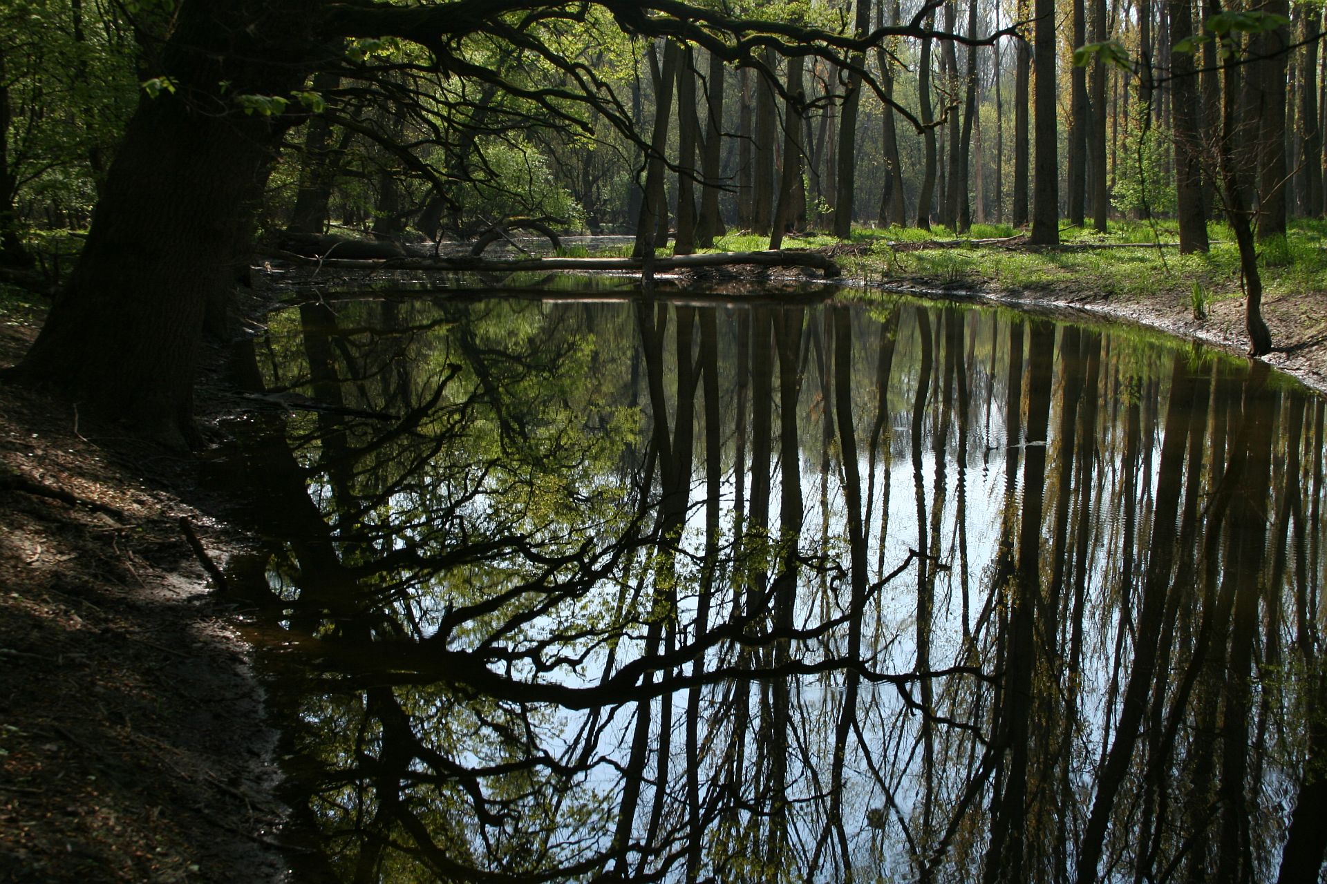
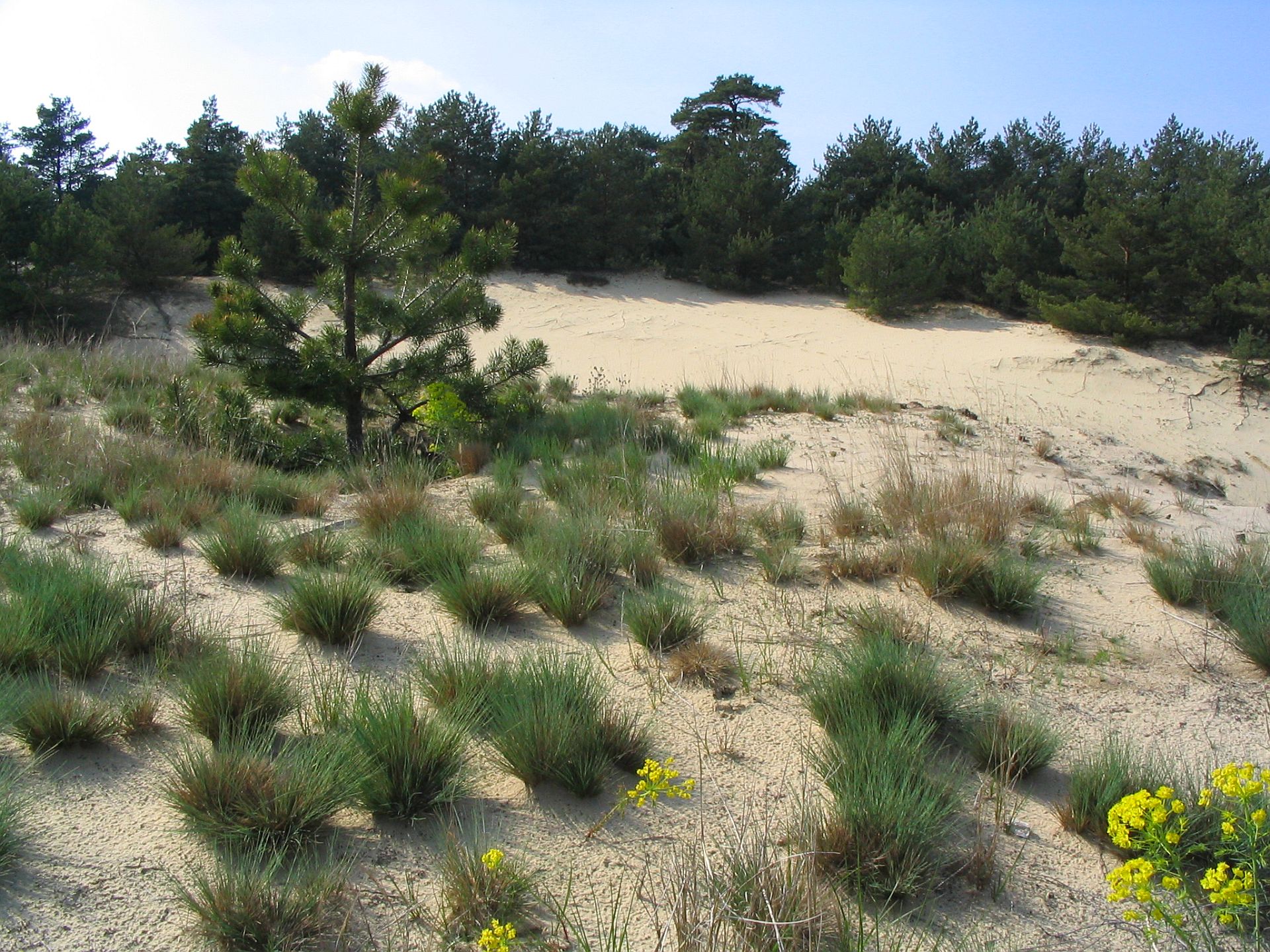
Záhorie region
3. Örseg-Goričko (Hungary/Slovenia)
The pilot area includes Goričko Nature Park in Slovenia, Őrség National Park and the entire Vas county with 13 Natura 2000 sites in Hungary, encompassing as much as 3798 km². Őrség National Park comprises the Őrség and Vendvidék regions, the unregulated valley of the Rába (the Inner Őrség) and the vicinity of Szentgyörgyvölgy. It encompasses the boundaries of altogether 44 settlements located on nearly 440 km². Őrség is a special hilly area covered by forests and shaped by rivers and brooks, where the waterlogged hollows difficult to climb are surrounded by hills and hollows of pebble ridges. Going eastbound from the west, the hills and chains of hills gradually lose altitude, forming a plateau shape. The landscape is divided by river valleys and the brooks running in them. Goričko (462 km²) in Slovenia has the same geographic structure with similar habitats and species. Grasslands represent an outstanding value in both protected areas due to its numerous rare plant and insect species. Both parks are harbor a very rich butterfly and moth fauna, out of which the Large Blue butterflies are of European importance. Another key butterfly species is the Marsh Fritillary, which retreating in most parts of Europe, but has still some healthy populations in this region. Ancient orchards and hedges surrounded by meadows provide suitable habitats for many rare bird species, like Scops Owl and Woodlark. Oldgrowth forest, though very small in size, are important as bat habitats. Both protected areas have a reasonable population of two endangered species Bechstein’s bat and Western Barbastelle.
Green Belt offers a good opportunity to improve ecological connectivity within the pilot area. As part of our activities we will design ecological corridors between butterfly populations in Slovenia and Hungary. Thereby larger Hungarian Marsh Fritillary populations will strengthen shrinking Slovenian populations. In contrast to butterflies, Scops Owl and Woodlark populations are larger in Goričko. Therefore, potential habitats in Őrség will be improved based on Slovenian examples, so that the national park can serve as a stepping stone towards the northern areas of the pilot area. The already existing Hungarian Ecological Network will be used to connect protected areas along the Green Belt with Natura 2000 sites further away. By intensive field surveys we will identify the most important breeding habitats and migration routes of bat and bird species and further develop the ecological network using this information. Hungarian Ecological Network is an important spatial planning tool consisting of core areas, ecological corridors and buffer zones. Building constructions and infrastructural development is restricted on areas included in the network, so that is helps preserving natural habitats
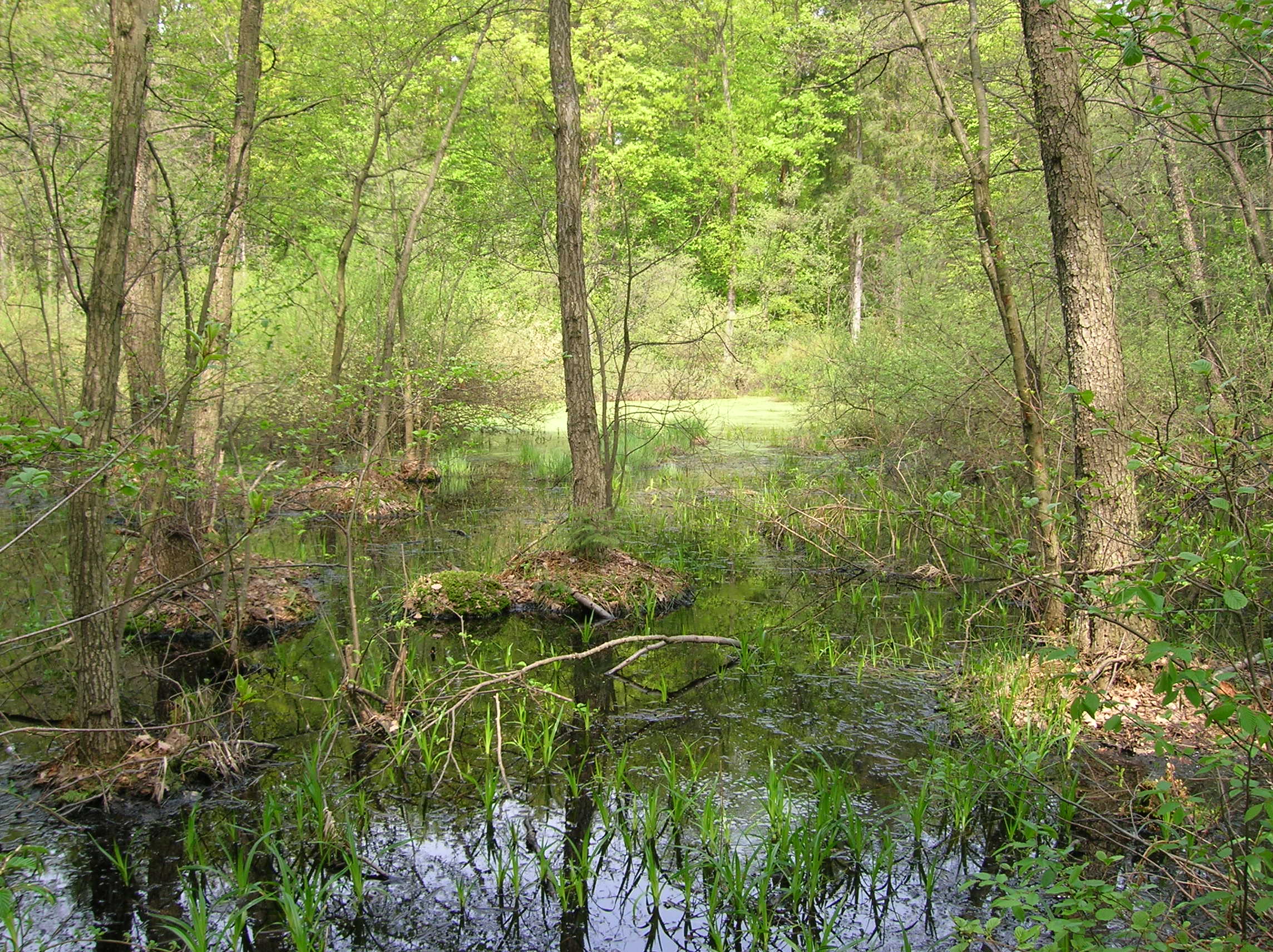
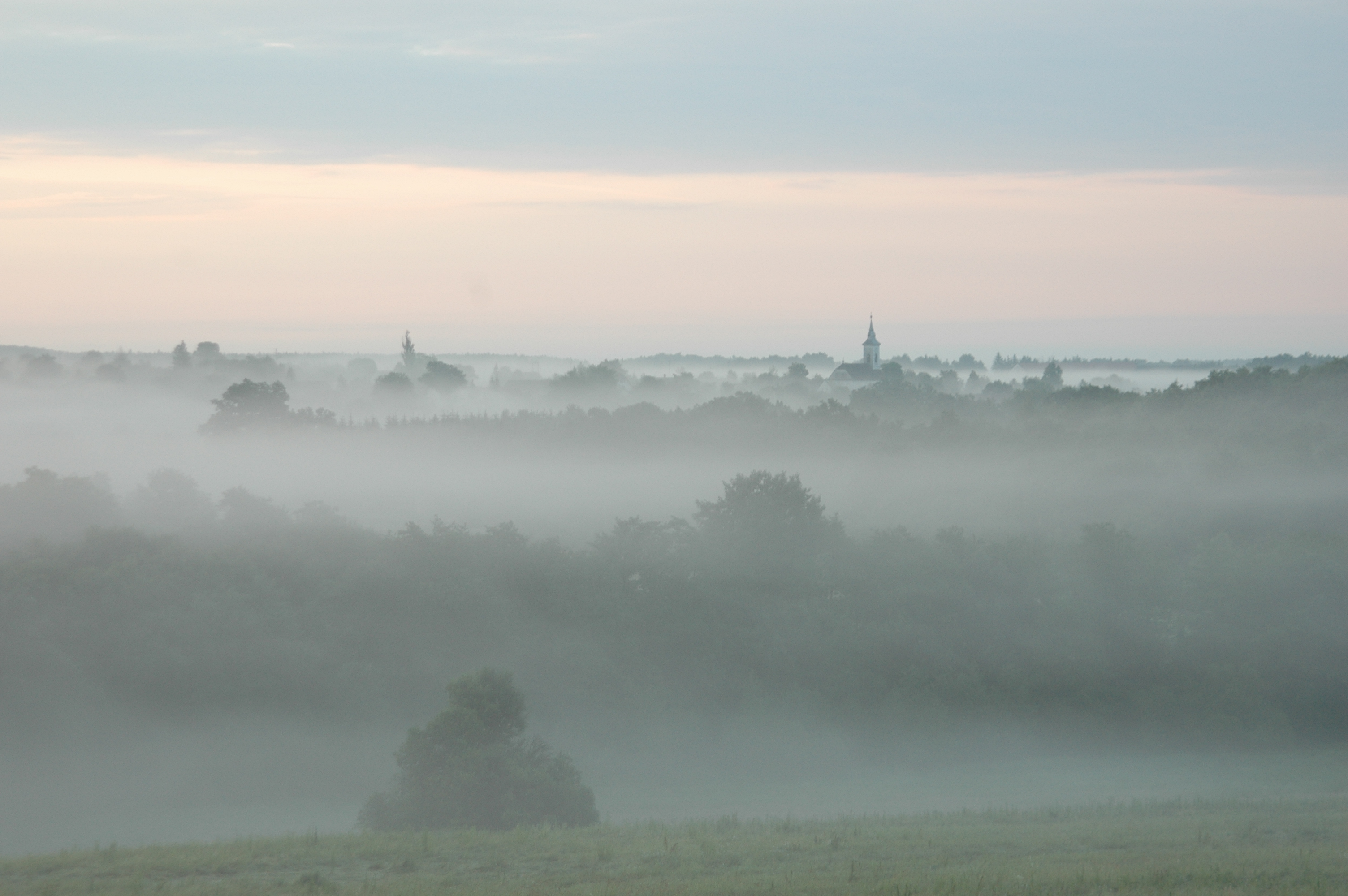
Örseg-Goričko
4. Iron Gates-Djerdap (Romania/Serbia)
The cross-border area of Iron Gates has always been recognized as one of the most beautiful European areas.
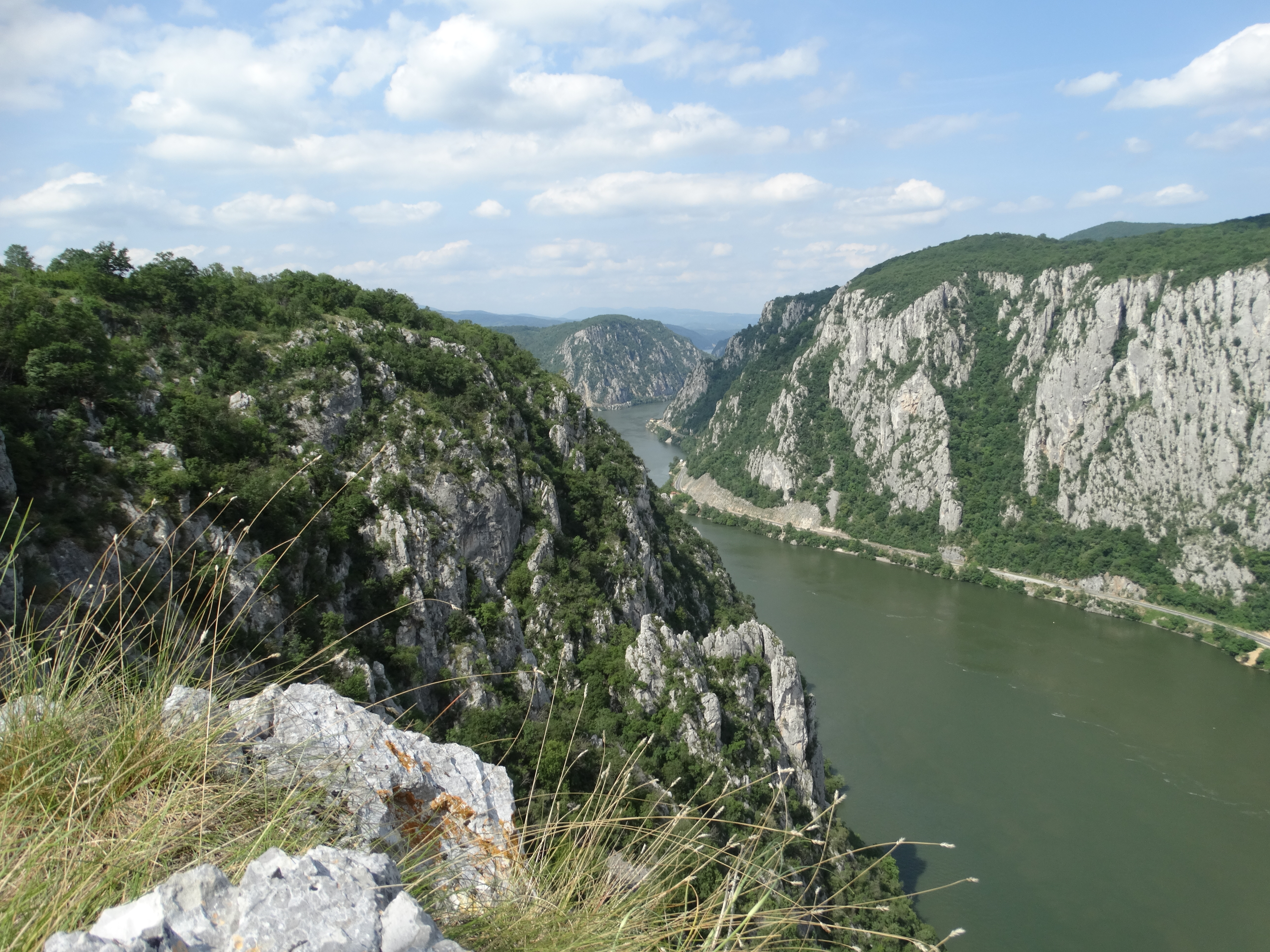
The Danube forms here the longest gorge in Europe, with a length of 134 km. The Romanian gorge of the Danube has both narrowing and widening sections.
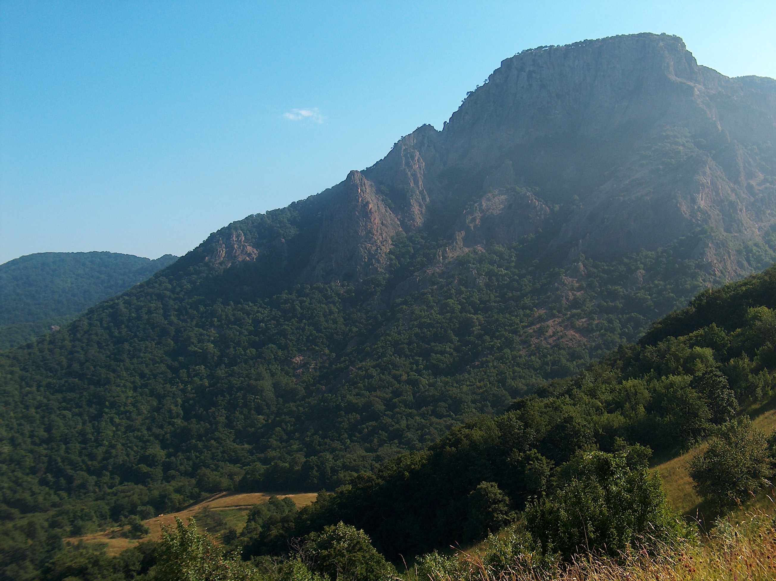
Geological and tectonic structure complexity has led to the formation of a highly varied relief, from depression to massifs and steep areas. Locva Mountains, Almaj Mountains, Mehedinti Mountains and Mehedinti Plateau rise on the left side of the Danube.
On the other hand, Djerdap, known as the Iron Gate, was a challenge for travelers, merchants and warriors for thousands of years.
This is a gateway between the two parts of the world, important both culturally and economically, between the middle basin and the lower basin of the Danube.
Iron Gates Natural Park is located in the South-Western part of Romania and its southern boundary is drawn by the fairway of the Danube River. It covers an area of more than 115,655.8 hectares and it is one of the largest natural parks in the country. Iron Gates Natural Park is a true outdoor geological atlas, featuring a series of geological and paleontological points of interest famous at national and European level.
Djerdap National Park is located in South-eastern Serbia, on the border with Romania. The total surface of the Park is 63,608 hectares and the surface of the protection areas is 93,968 ha.
Climatic, geological and morphological conditions have also created here exceptional conditions for the existence of numerous species of plants and animals, unique or rare worldwide.
Djerdap National Park and the Iron Gates Natural Park form an organic ecosystem.
That is why there are efforts to declare the cross-border area as a Biosphere reserve and a RAMSAR cross-border site in the very near future.
Along the Danube, from Bazias beyond the Timoc Valley, natural and cultural history created a landscape heritage with a wide international reputation, both in terms of biological diversity and cultural vestiges.
Two large natural protected areas were declared on both sides of the old River, in this sector: Djerdap National Park and Iron Gates Natural Park.
The great variety of ecosystems (aquatic, lacustrine, saxicole, screes, shrubs, forests) makes the Danube and its banks to be considered a true natural laboratory, but at the same time a guide into the world of plants and animals.
This area has the most spectacular European gorge, the Danube Gorge, characterized by an alternation of lowland basins and narrowing sectors, differentiated due to extremely complex geological structures crossed by the river.
It shows a sequence of areas with steep rocky slopes where human activity was virtually null, with lowland areas where the settlements, farmed land, meadows and orchards denote an obvious human activity, even this sequence giving this space a particularly pictoresqueness.
Preservation of biological diversity in a protected territory is ensured in the most favorable way when the treatment that is the closest to the one it had before the establishment of the protection is applied, so that the changes involved subsequently to be minimized. Biodiversity, wild flora and fauna preservation is no longer possible without the preservation of a wide variety of natural habitats.
Iron Gates-Djerdap
5. Drava River in Virovitica-Podravina County (Croatioa)
Virovitica Podravina County is located in the north-eastern part of Croatia. In its northern part county is bordered by the river Drava. The flow of the river Drava through the Virovitica Podravina County is 70 km long, and at the same time represents the border with Hungary.
The Croatian Government has confirmed official Declaration of Regional Park Mura Drava on 10th February 2011. This Declaration protects Mura and Drava flows and their floodplains, whose value is recognized at regional, national and European levels. Besides the river flows and their flooded areas, boundaries of protected area include meadows and agricultural areas of high landscape value. Smaller settlements encompassed by the park with a traditional way of life along the river, numerous manifestations and others activities, represent significant cultural heritage within the park. The implementation of the economic activities is allowed with the respect of nature protection conditions and measures, while the use of natural goods is carried out in a sustainable manner ensuring the conservation of natural values for which the area is protected.
The total area of the Regional Park Mura Drava is 87,680.52 ha. In the Virovitica Podravina County is 17.801,96 ha, which is 20,35 % of the total area of the park. It encompasses parts of the 7 municipalities: Čađavica, Gradina, Lukač, Pitomača, Sopje, Suhopolje and Špišić Bukovica. Previously protected areas in the area of the park are significant landscapes Jelkuš, Križnica, Širinski otok and Wetland habitat Vir and Protected monument of park architecture – a group of trees in Noskovačka Dubrava.
The headquarters of the Public Institution for the management of protected parts of nature and the ecological network of the Virovitica Podravina County is located in village Noskovci within the Protected monument of park architecture - a group of trees in Noskovačka Dubrava, proclaimed in 1969, within the Natura 2000 ecological network, the Mura Drava Regional Park, the Cross-border Biosphere Reserve Mura Drava Danube under the protection of UNESCO and within the European Green Belt.
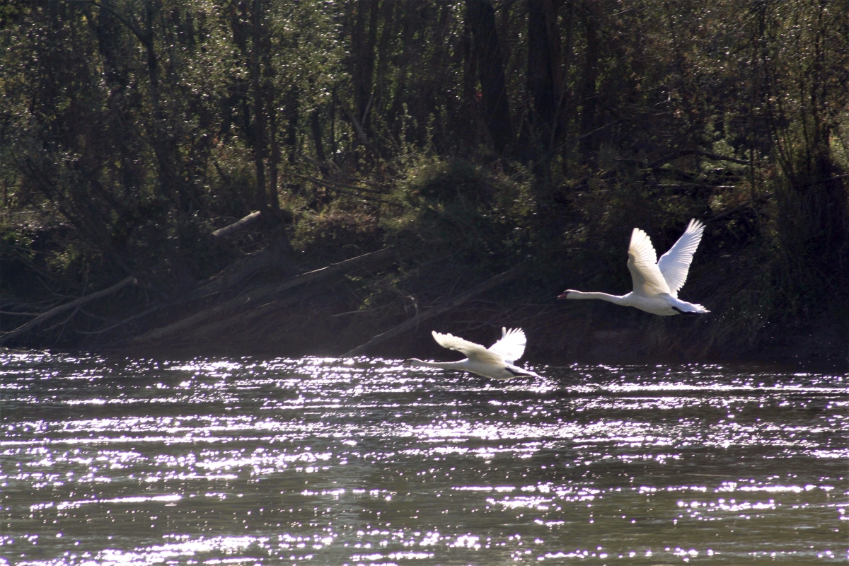
The river area of Drava in the Virovitica Podravina County is an integral part of the Natura 2000 ecological network where Special Areas of Conservation important for species and habitats (SACs) overlaps with Special Protection Areas of conservation important for birds (SPAs). This area contains rare and endangered wet habitats. There are 39 species of birds which are also listed in Directive on the conservation of wild birds and 33 species listed in Directive on the Conservation of Natural Habitats and Wild Fauna and Flora.
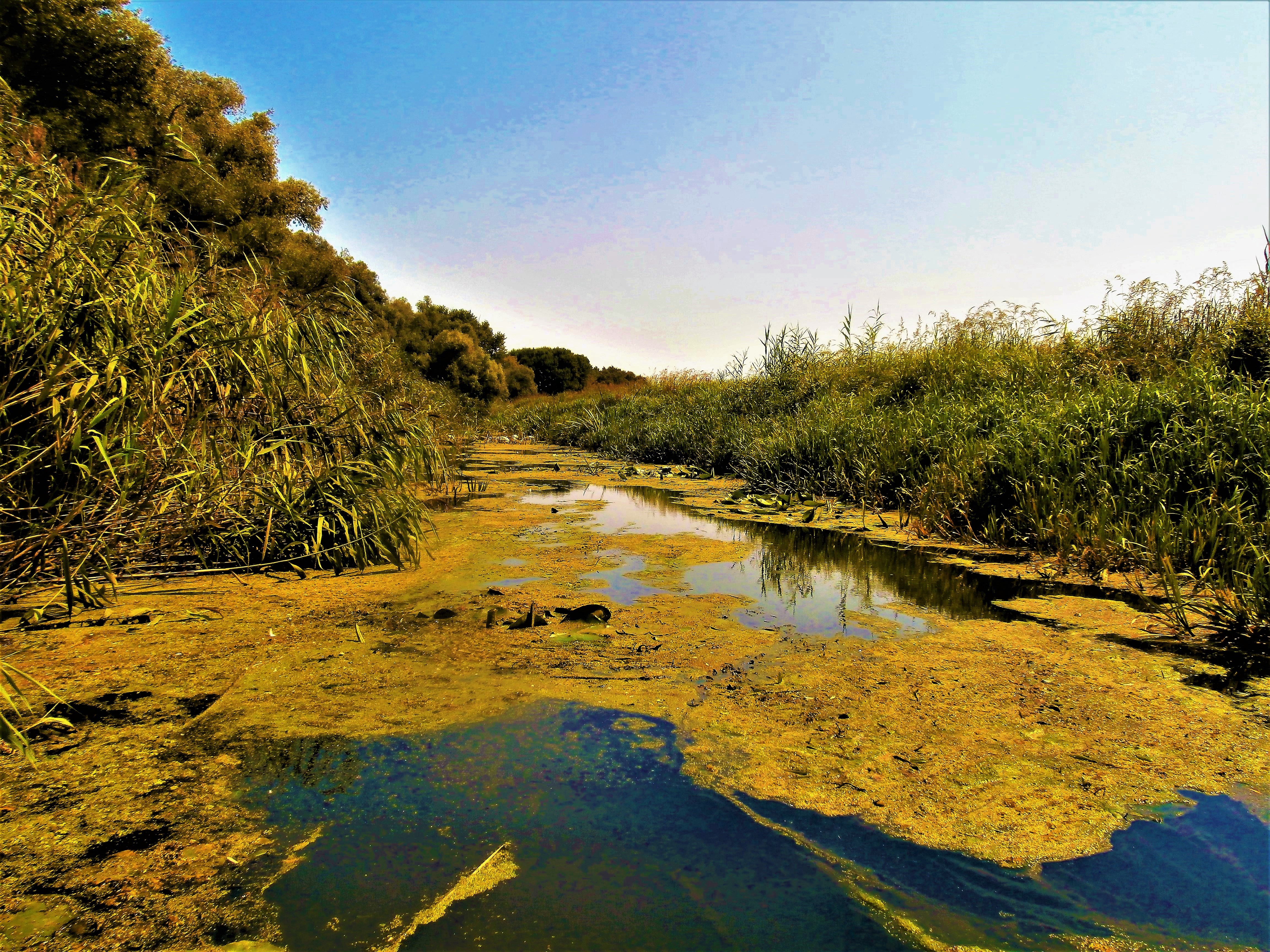
The Cross-border Biosphere Reserve Mura Drava Danube was proclaimed in July 2012 by the UNESCO’s Man and the Biosphere Committee, on the area of Hungary and the Republic of Croatia. It stretches through 6 northern Croatian counties on the surface of 395,860.71 ha, and in total on the territory of Croatia and Hungary on the surface of 631,460.71 ha. In the Virovitica Podravina County stretches along the 70 km of river Drava. It is rich in species and habitats, as well as in total biodiversity and landscape diversity. The characteristics of this area are wet habitats: floodplain forests, wet grasslands, oxbows, abandoned riverbeds, meanders and eroded steep riverbanks. In this area, 116 species of birds have been recorded in the Virovitica Podravina County, and the Drava river is the most important ichtyological area in Croatia with about 70 species of fish species recorded.
In these protected areas, Public Institution carries out its activities through protection and preservation of natural values, cooperation and communication with the local community, education and interpretation, visits and promotions, capacity building and managing the work of the Public Institution.
Furthermore, Public institution conducts rescue and resettlement actions in the nature of endangered species. Related to that, Public institution established the Recovery centre for White storks in the autumn of 2017. Besides regular activities, Public institution is working on the preparation and implementation of numerous national and EU projects.
Drava River in Virovitica-Podravina County
6. Danube River oxbows (Hungary)
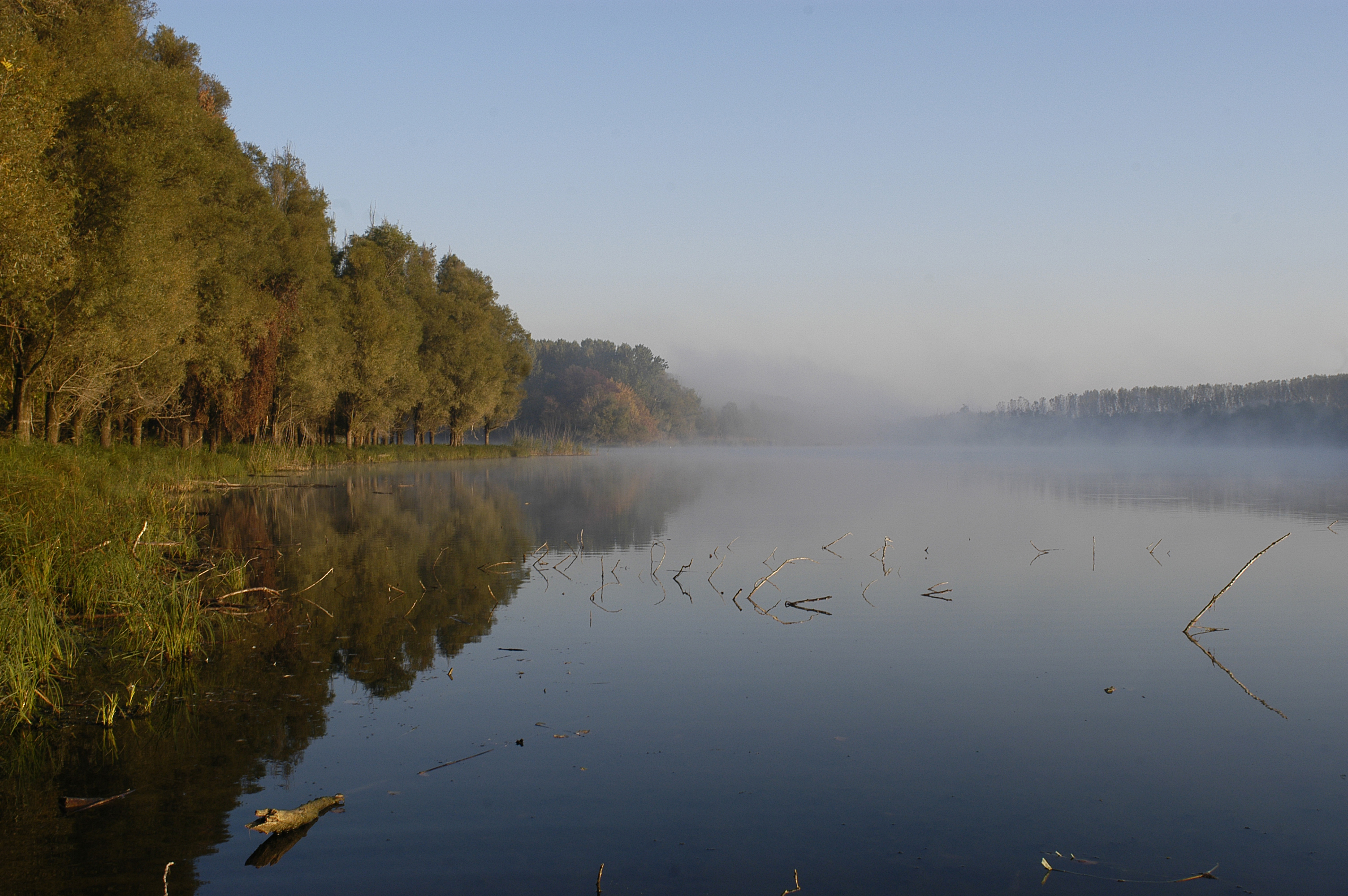
The Region of Béda-Karapancsa is located at the Southern part of the Danubian section of Duna-Drava National Park in the proximity of the town of Mohács. Its territory is more than 10000 hectares, consisting mainly of river floodplain forests, water bodies and marshes. Especially valuable parts of the area are the more than one 120-year old oak woods and the wetland habitats. The old oak woods provide home for a number of strictly protected birds (for example: white-tailed eagles and black storks), bat species and a number of protected orchid species (such as the small-leaved helleborine). The water of the Danube river is spread over the flood area by the unique „fok” (= canal) system creating highly variable wetland habitats (oxbows, marshes, grasslands, reeds and many others). These places provide breeding and nesting places to the bird populations (grey herons, white herons, night herons, kingfishers, ducks, etc.), and feeding as well as resting places for migrating birds. In the water bodies you can find many protected fish species (such as the great sturgeon, Ukrainian brook lamprey, Danubian roach, weatherfish, etc.) and plant species (water lily, water violet).
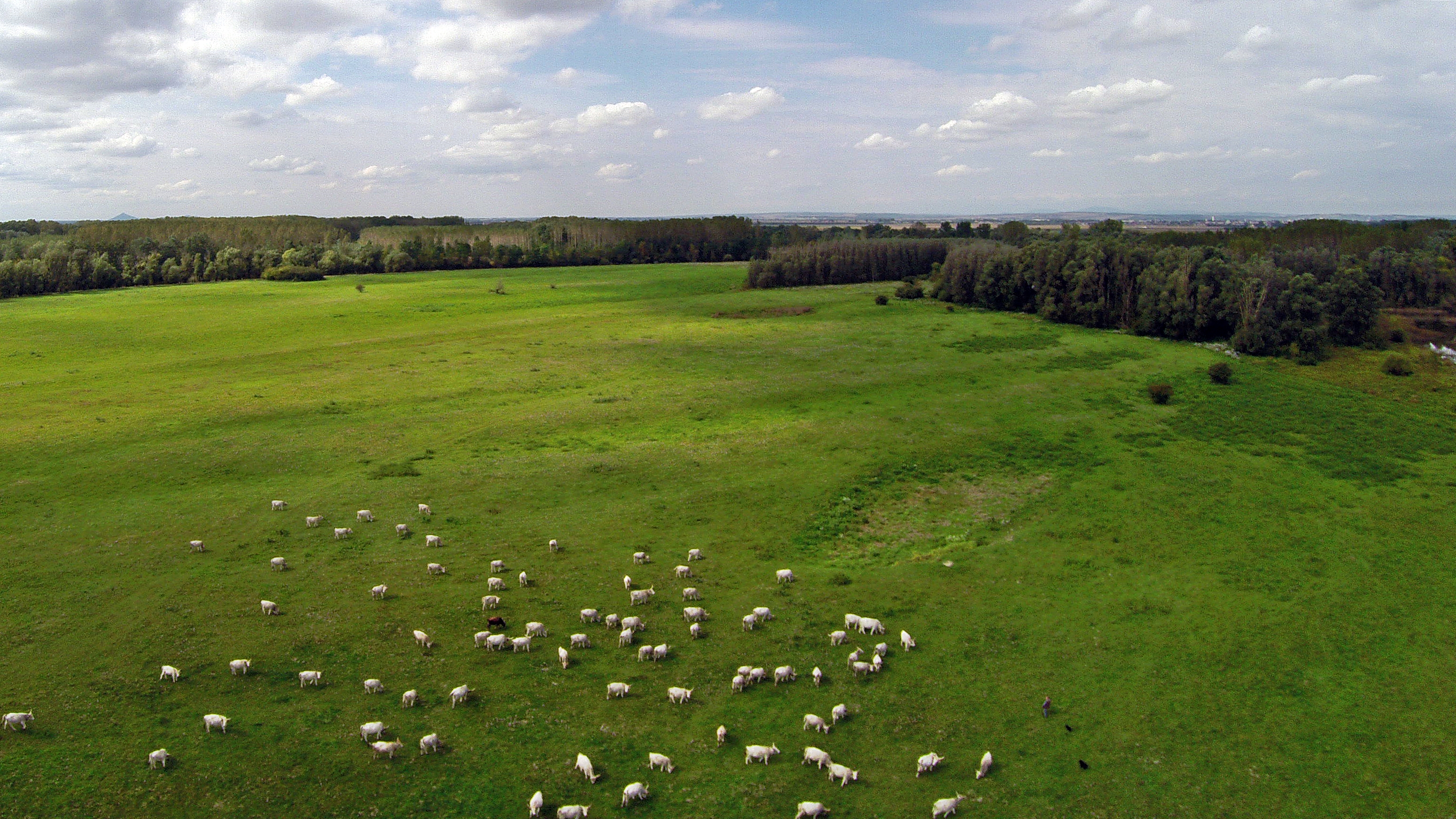
In the grasslands Siberian iris, summer snowflake and many other protected flowers bloom. These grasslands are home for the native, Hungarian grey cattle.
The preservation of our natural heritage and values is carried out through nature-protection management. It means that we can carry out the revitalisation of the canal system; manage our protected areas; continuously improve our eco-tourism and educational activities, and participate in various international projects.
